
Countries Visited Map: 6 Ways to Make One (2026)
Want a map of the countries you've visited? Here are 6 ways to make one — from a scratch-off wall map to a shareable 3D globe — and how to pick.

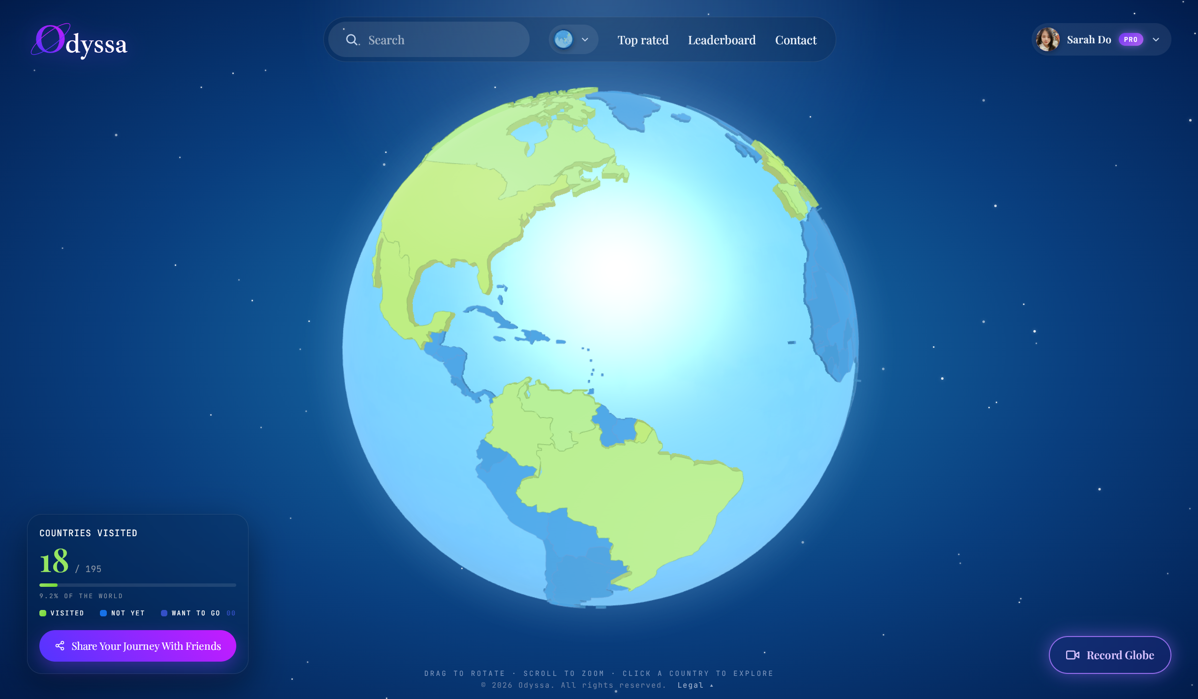
There are more ways to make a map of the countries you've visited than most people realize — and they run from a $20 poster on your wall to a shareable 3D globe. Here's the short version: if you just want something on the wall, get a scratch map. If you want it digital and free, use Google My Maps or an online map maker. If you want it to hold your photos and be shareable, use a travel app or an interactive globe.
Below are all six, honestly — what each is good and bad at — so you can pick in about a minute.
1. A scratch-off wall map
The classic. A printed world map where you scratch off a foil layer over each country you've been to, revealing color underneath.
Good at: it's tactile, looks great on a wall, needs no account or battery, and makes a lovely gift. Weak at: it's static — you can't zoom in, attach a photo, share it with anyone not standing in your living room, or update it on the road. Best for: a physical keepsake you'll enjoy walking past.
2. Google My Maps
A free, do-it-yourself option most people forget they already have. Sign in, create a map, drop pins or shade regions, add notes and photos to each, and share it with a link.
Good at: free, flexible, gives you a shareable link, and can hold notes and photos. Weak at: it's fiddly to color entire countries cleanly, it looks utilitarian, and it isn't built for "countries visited" specifically — you're bending a general tool to the job. Best for: DIY-ers who already live inside Google and don't mind some setup.
3. A free online map maker
Tools like MapChart let you click countries to color them in and download the result as an image, no account needed.
Good at: fast, free, and perfect for a clean graphic to post on Instagram or a blog. Weak at: the output is a flat image — it can't hold photos, doesn't update as you travel, and there's nothing to click or explore. Best for: a one-off graphic for social media.
4. A country-counter app
Apps like Been or Visited let you tap countries on your phone, see your stats and percentage of the world, drill down into states or regions, and share a map card.
Good at: quick, satisfying, full of stats, and always in your pocket. Weak at: it's mostly about the number — thin on photos and stories, mobile-only, and some features sit behind a paywall. Best for: travelers who mainly want the count and a clean, shareable map.
5. A travel-journal app
Apps like FindPenguins or Polarsteps automatically track your route by GPS, let you add photos and videos, build a chronological timeline, and share the trip.
Good at: automatic route recording, rich media, social sharing, even printed books. Weak at: everything is organized by trip and date, not by "everywhere I've been" — so a lifetime map is secondary, and it can feel like a lot if all you wanted was a map. Best for: logging individual trips as they happen and sharing them.
6. An interactive 3D globe you can share
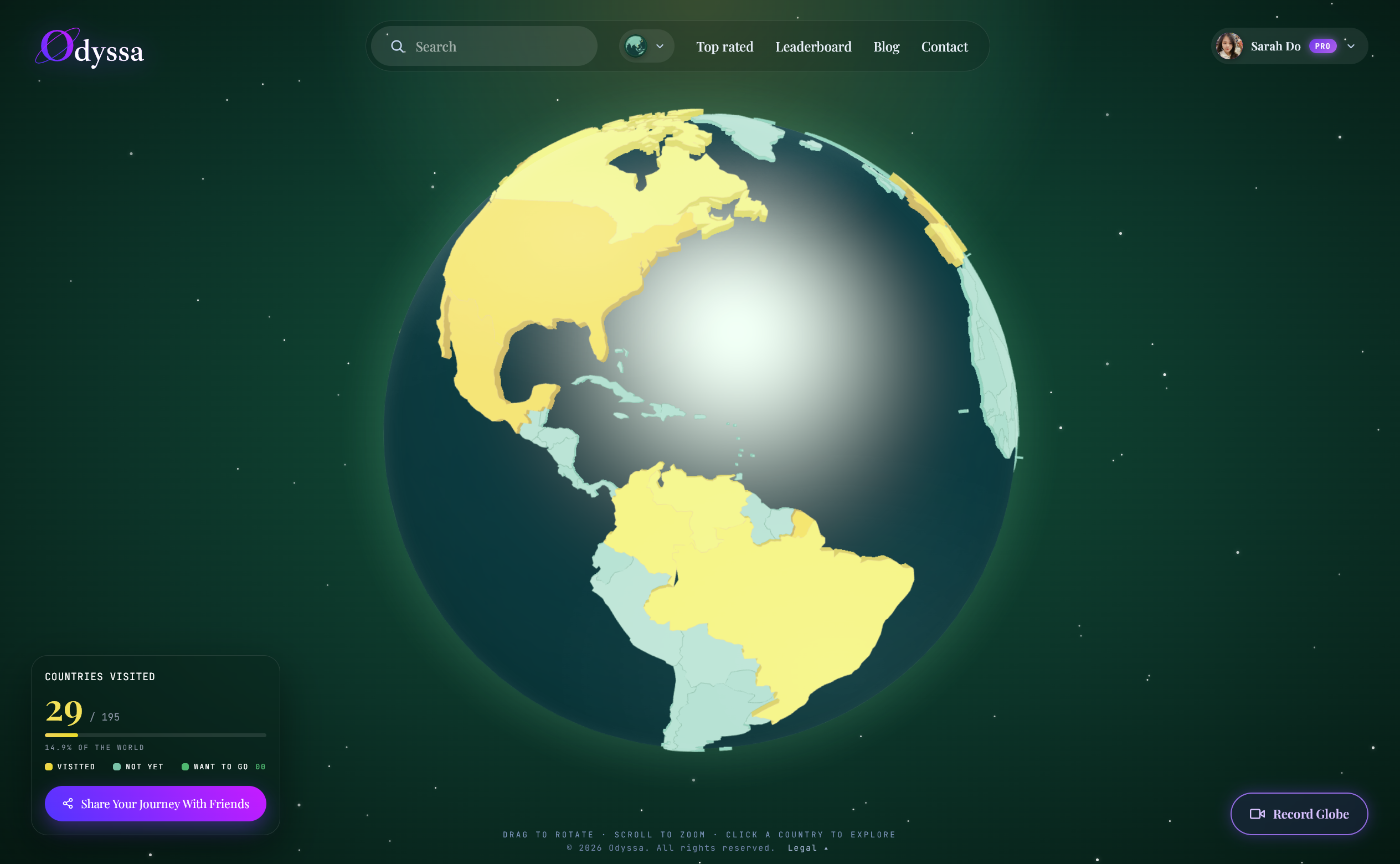
The newest approach: mark the countries you've visited on a 3D globe, attach a few photos, videos, and a note to each one, then share a link anyone can open in their browser — or export the whole thing as a video.
Good at: it's visual, it holds your memories by country, and the share link opens in any browser with no app to install. It lives on the web, so it's the same map on your phone and your laptop. Weak at: the interactive-globe tools are newer and smaller than the big apps, and they're built for hand-picking your best moments rather than auto-tracking every step. Best for: turning your map into a memory you'll actually revisit and want to show people.
This is the route I ended up taking. I mark each country on the globe and drop in the handful of photos worth keeping, and when someone asks where I've been I just send the link. You can build one free at odyssa.me.
How to choose, in one line each
- A keepsake for the wall → scratch map
- Free and flexible → Google My Maps
- A quick graphic to post → an online map maker like MapChart
- Just the count and stats → a counter app (Been, Visited)
- Automatic route + photos → a journal app (FindPenguins, Polarsteps)
- A memory by country you'll share → an interactive 3D globe
The thing worth remembering
A map of the countries you've visited is only worth making if you'll look at it again. A wall map fades into the furniture. An image gets posted once and forgotten. The versions that last are the ones that hold something — a photo, a note, the reason that country mattered — and that you can pull up and share whenever someone asks.
Whichever you choose, aim for that: not just a record of how many, but something that brings the trips back.
FAQ
How do I make a map of the countries I've visited for free? Google My Maps and free online map makers like MapChart cost nothing. Most travel apps and interactive globes — including Odyssa — also have free tiers that let you build and share a map without paying.
What's the best app to make a countries visited map? It depends on what you want. For the count and stats, a counter app. For photos and sharing, a travel-journal app or an interactive globe. Ask yourself whether you want a number or a memory — that decides it.
Can I make a countries visited map I can share online? Yes. Google My Maps gives you a shareable link, and interactive globes like Odyssa let anyone open your map in a browser with no app required.